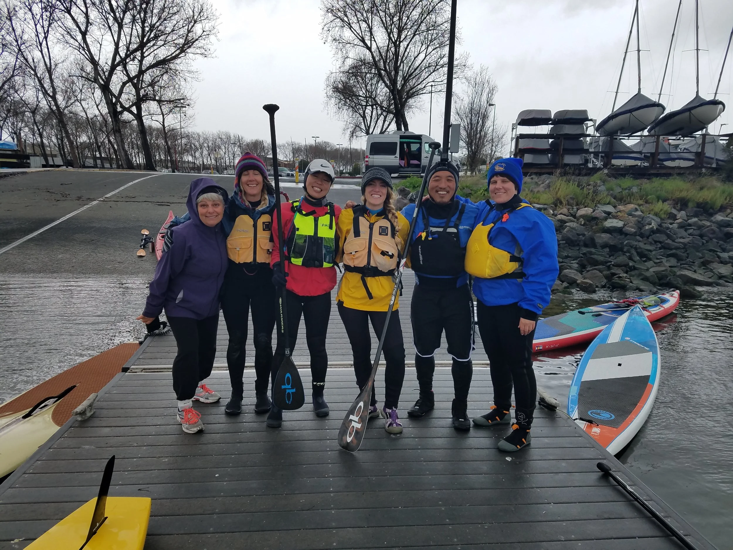
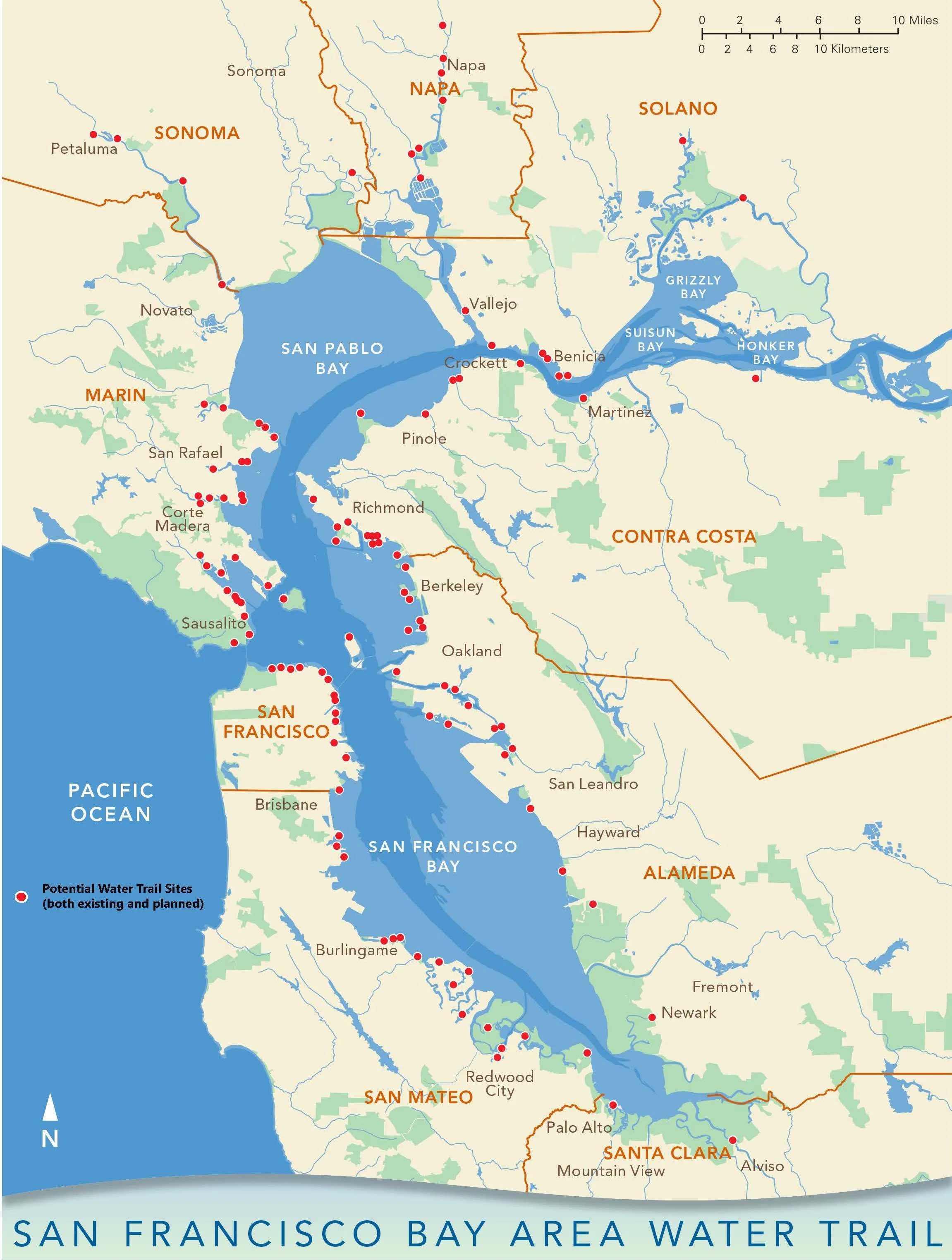
Day 7: Coyote Point to Mission Creek 10 Miles

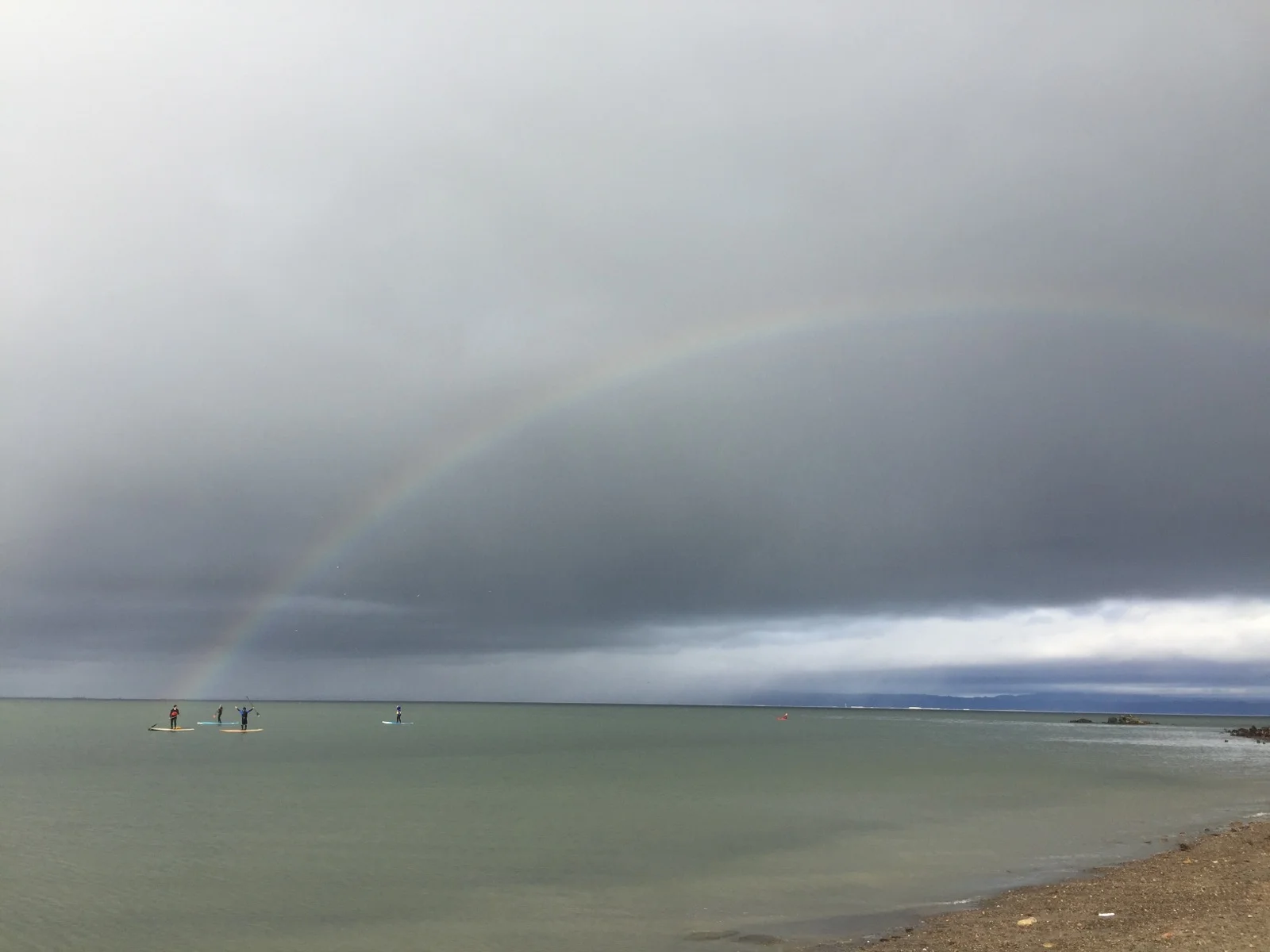
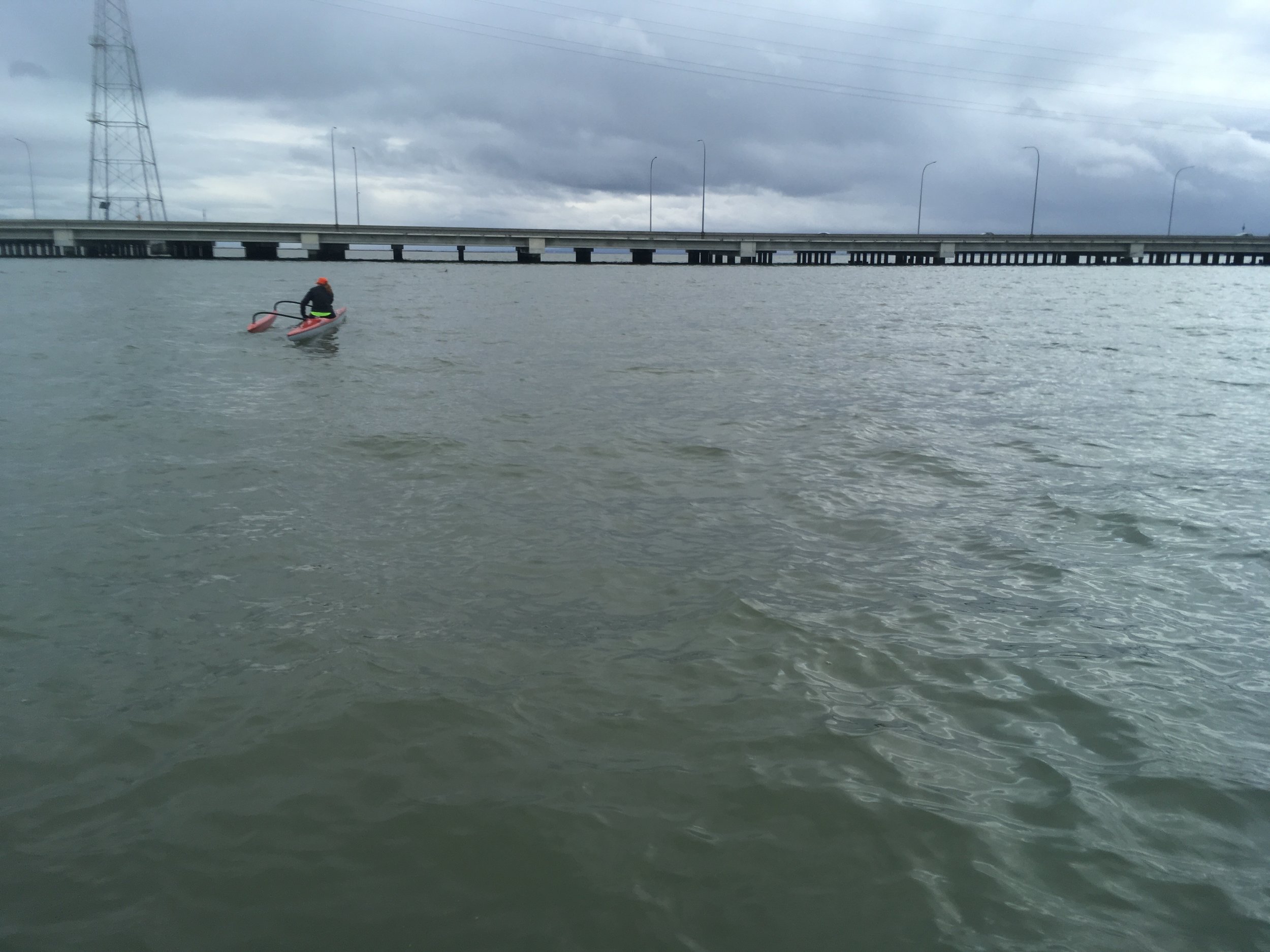
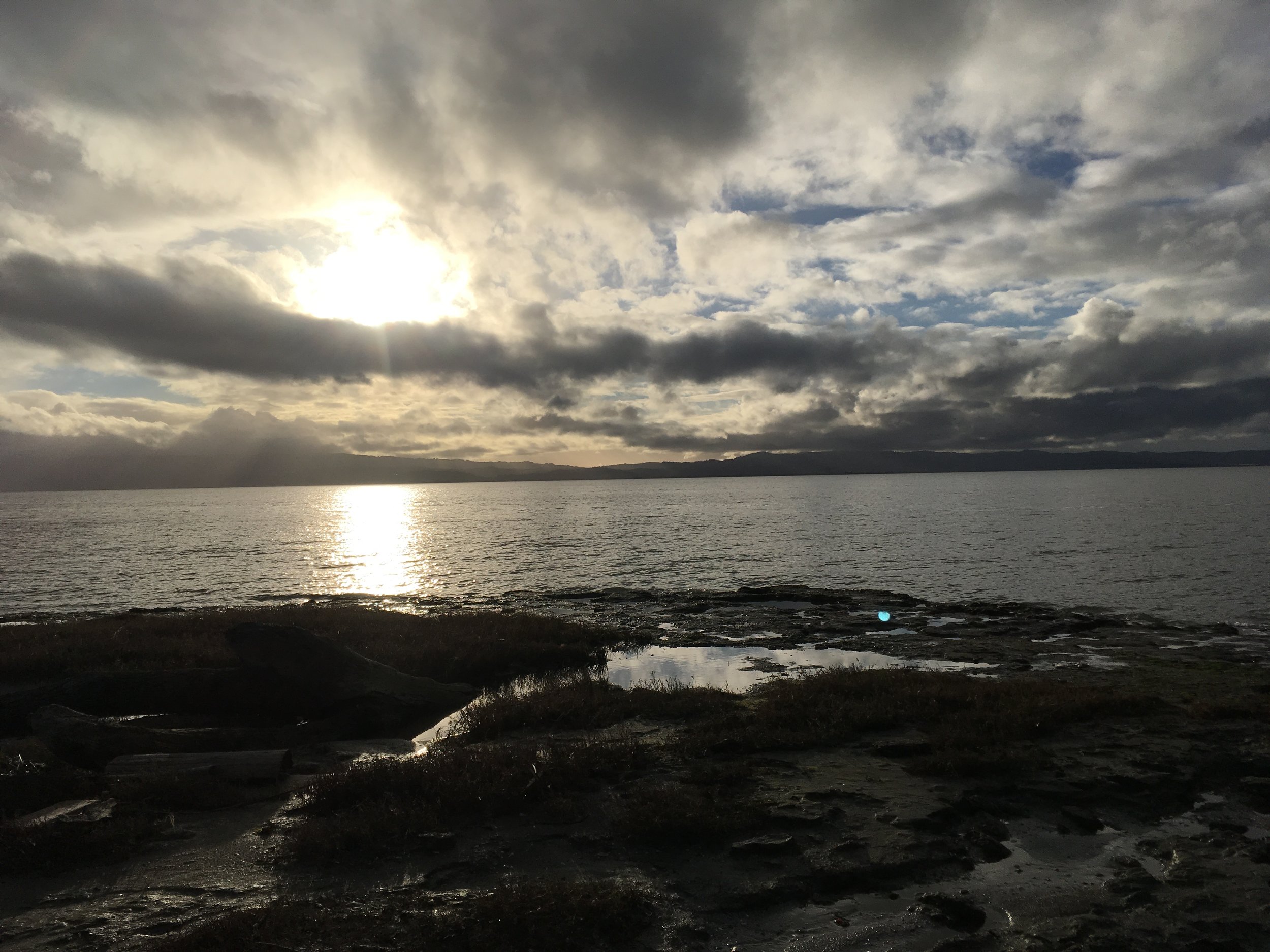
Crossing SFO with planes flying overhead? Passing by a huge container crane? Three large Navy ships? San Francisco Giants baseball park? Yeah, that's exciting for a SUP trip. Coyote Point to Mission Creek has several put-in and take-outs in between so you can take your pick of the distance between 10 miles as well. Summer downwinders are great with the west wind carrying you down south and winter downwinders with south wind carrying you north. 


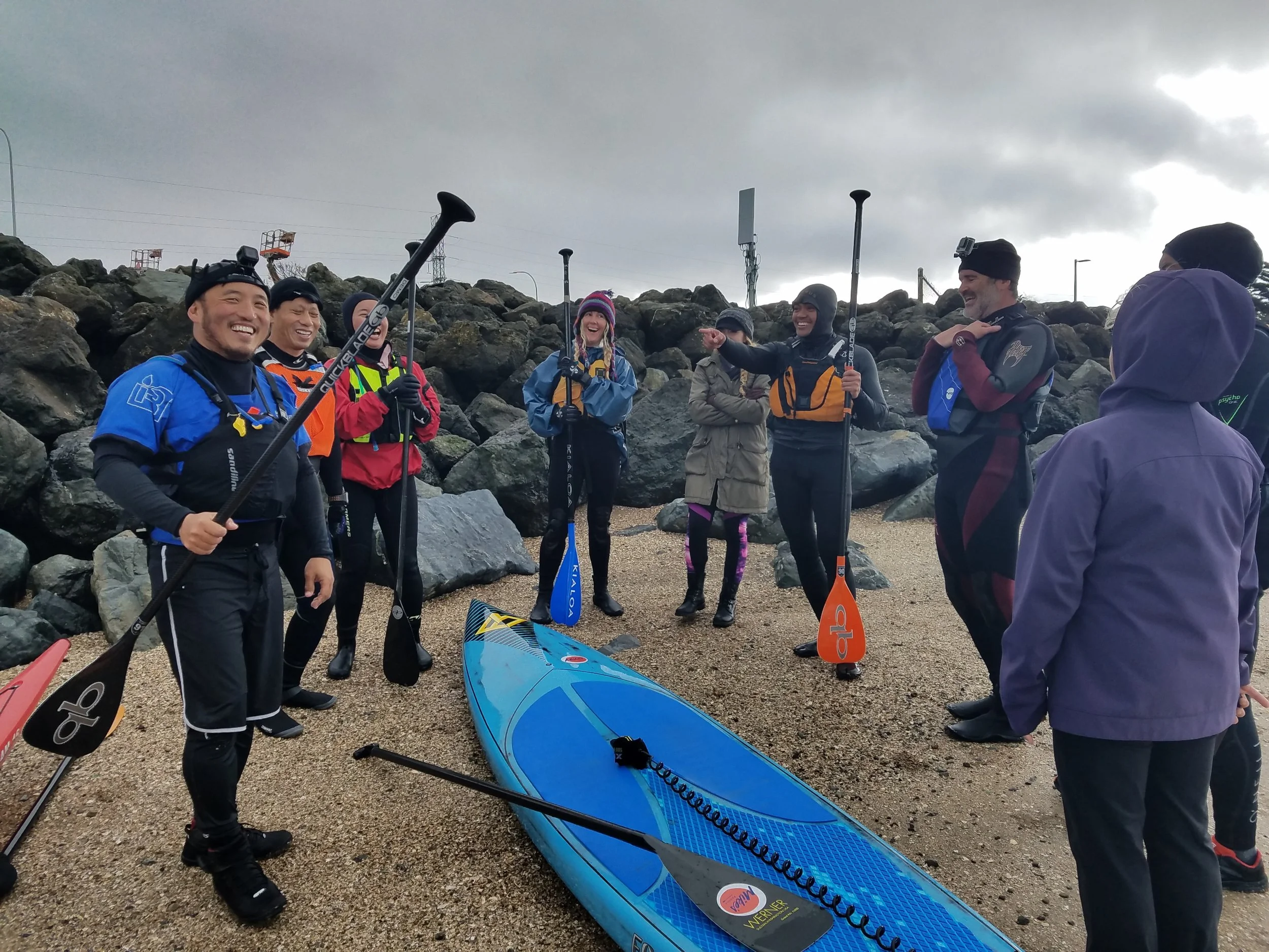
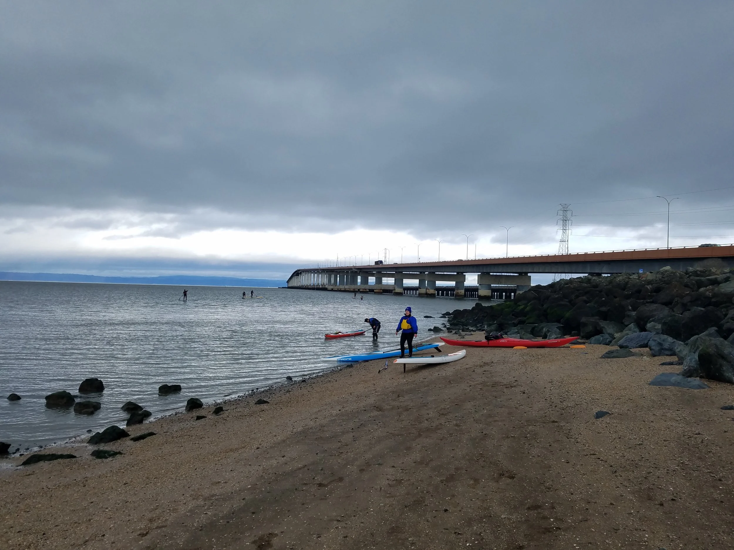
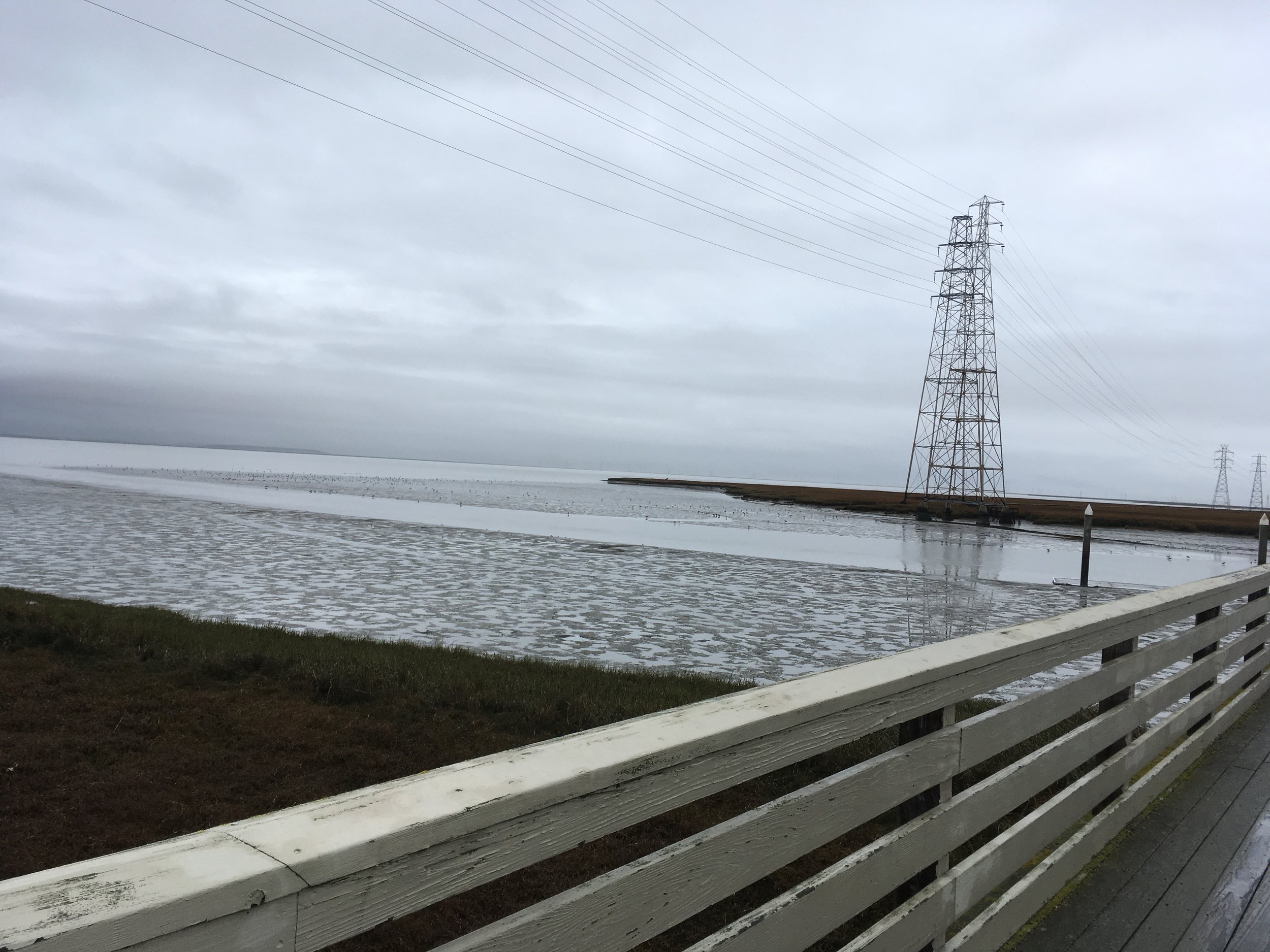
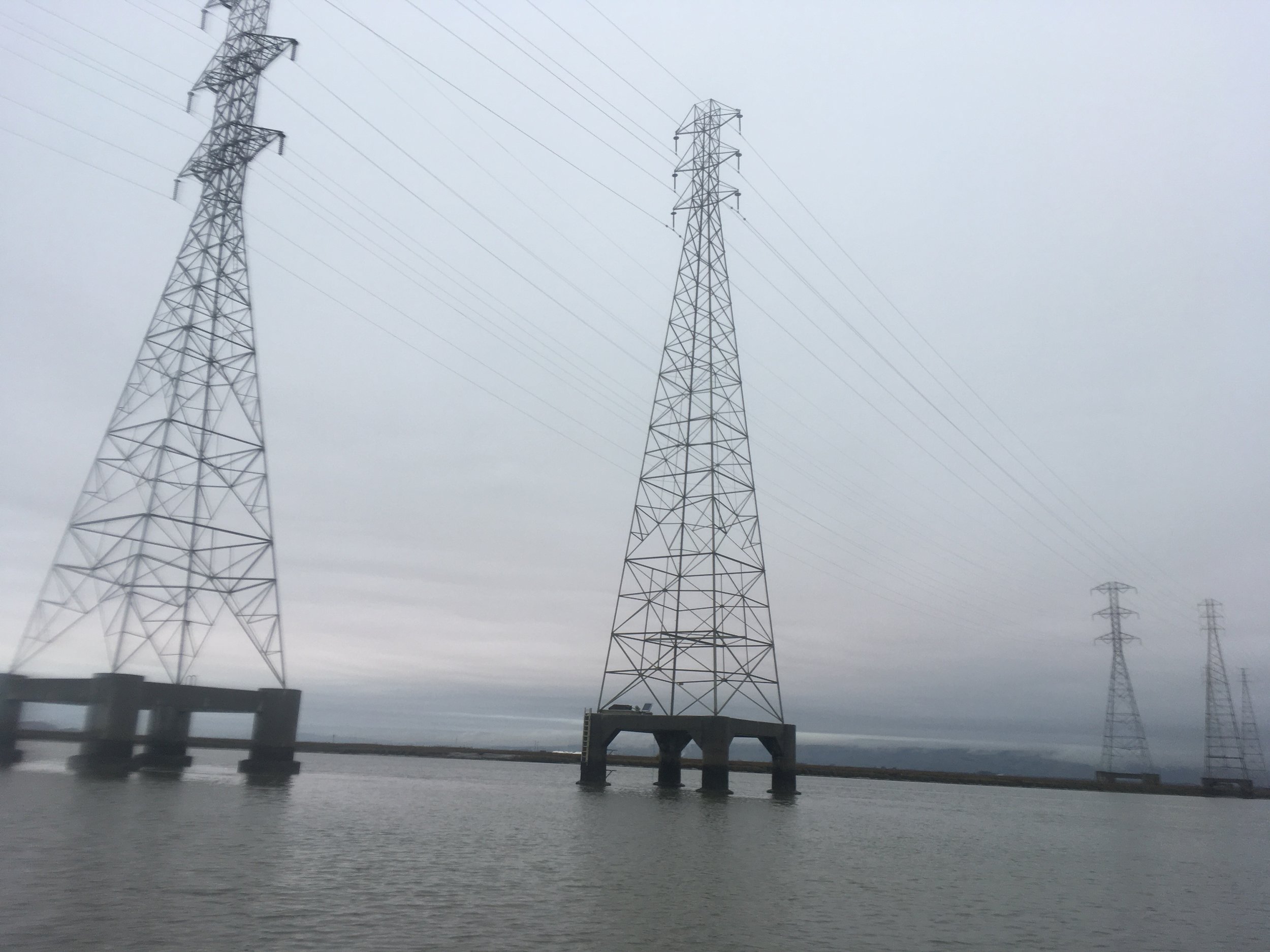
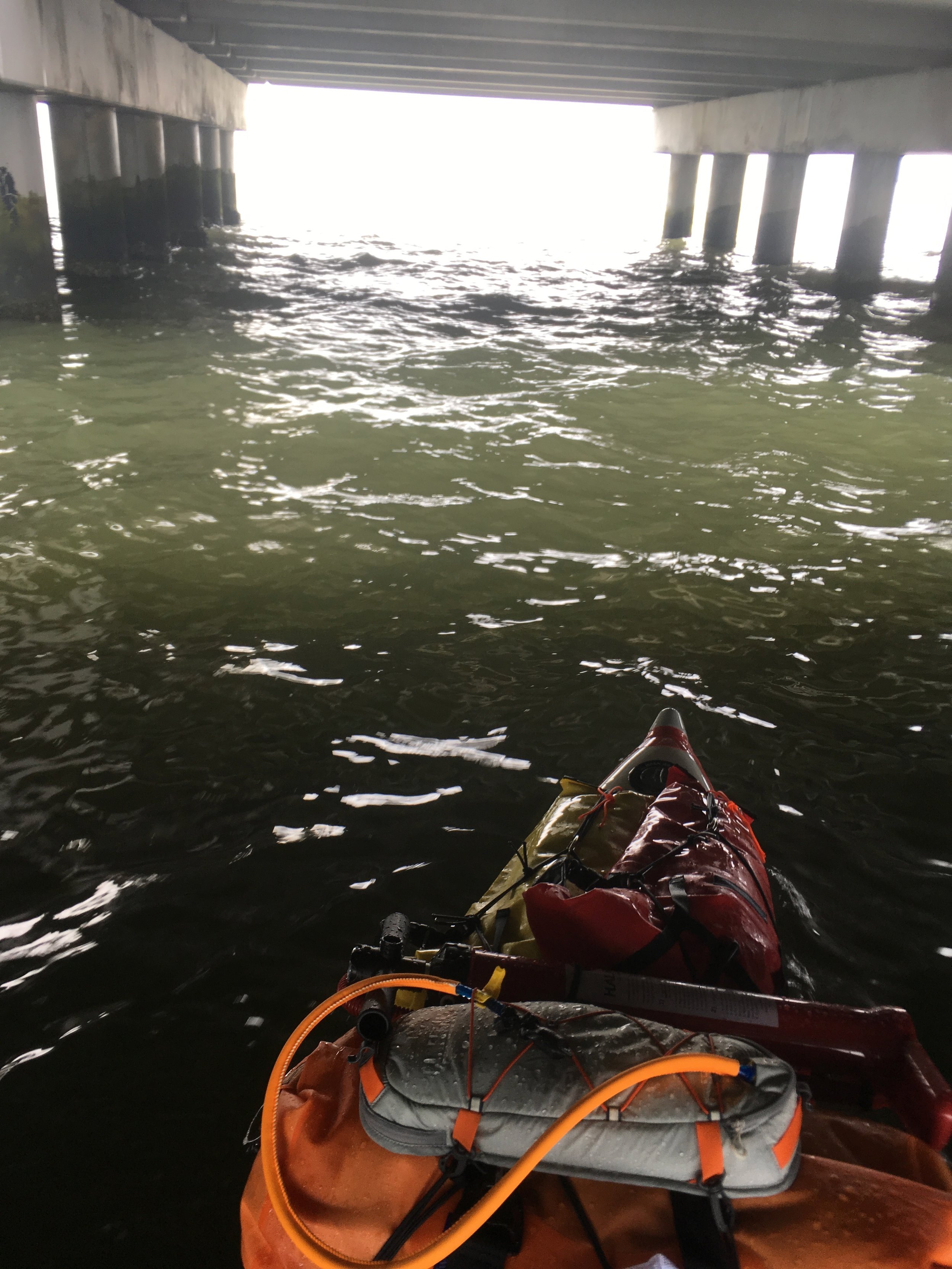
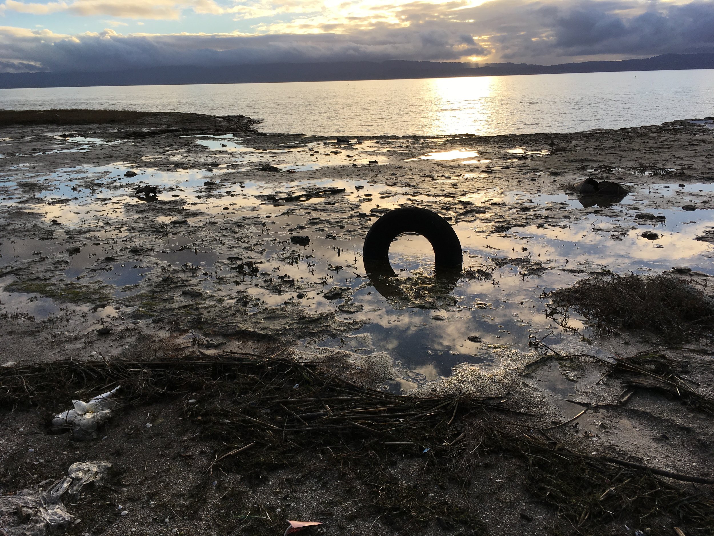
On January 8th, 2017, I paddled from Redwood City to Mission Creek under really favorable conditions. The storm had stopped and I had an opening with slight south wind. The 10 miles was pretty easy to cover under 3 hours. You have to be careful with SFO and stay wide and clear otherwise the police/coast guards might chase you out of there. The current around Hunter's Point could be tricky sometimes and certainly watch out for bridge traffic before AT&T park. The Navy ships that are parked before Mission Creek can be death traps if you paddle between the ships or even close to them during strong current and wind. There are many tug boats that are docked on this stretch and depending on the captain you can have a very different experience even though SUPs have the right-away. Last but not least, sometimes the NW winds during the summer might push you towards East Bay, you'll have to fight your way to stay along the coast.

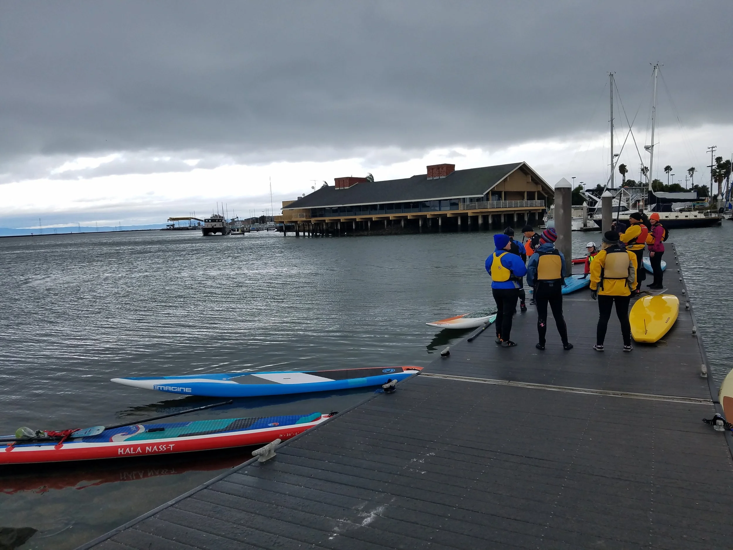
Put-in: Coyote Point Beach is a perfect take-out for various small boats. There's Boardsports California which rents and sell both wind/kitesurf boards and SUPs. Be aware of GPS confusion, there's a Coyote Hills park in Fremont. Some of our shuttle drivers were reporting that google maps were leading them there instead. Inside of the Coyote Point Recreation Area, there are two parts also - the marina and the beach. Make sure you direct your driver to the beach.

Take-out: Mission Creek or Mission Bay has several places where you can land. The Ramp (the restaurant) is a great place to land and have lunch. There's a public ramp at Bay View Boat Club which is nice (no bathroom), but you'll need to read the parking signs carefully due to the Giants schedule. Another great ramp is at the end of Mission Creek along Berry Street. There's a public bathroom there and also a boat house that belongs to UCSF. Parking is sparse though. On top of that, there's plans for the Warriors to move their stadium over to Mission Bay in the near future, so definitely forget about parking when that happens.


Day 6: Redwood City to Coyote Point 10 Miles

From Redwood City to Coyote Point, you'll see many cool sites along the peninsula. Bair Island, Foster City Beach, San Mateo Bridge, and Coyote Point Recreation Area. The view is fantastic and you can often get good downwinders here in the summer with the west wind. In the winter, the south wind can be great too.


On January 7th, 2017, I organized the Mike's Paddle Team Focus race team to paddle this stretch. The winter storms were coming with what the meteorologists call an atmospheric river event - there's apparently a large volume of water down south and streaming tons of rain to northern California. In the next several days, there were severe wind and flood advisories and Tahoe got 10 feet of snow. But with winter storms, the wind typically come from the south and we were in luck for a fun downwinder from Redwood City to Coyote Point which we finished in about 3 hours. The only problem was fighting the wind to get out of the Redwood City channel. There were few wind shadow spots and some of us got stuck in the shallows on the north end of the channel. It was a short carry to get around the point but once we were going north it was super fun.

Conditions: 15-20 knot S/SW wind, mid-50's, high tide and ebb tide about 1 knot. 

Hazards: The low tide is typically the issue here. Wind was also so strong that some of our folks either turned back or had to carry the boards around the point. In the summer you'll have the same issue with the west wind where it would push you to the south end of the redwood city channel. San Mateo Bridge can be intimidating to beginner/intermediate paddlers with strong current or wind, the waves tend to get bigger around the bridge. Boat traffic in and out of marianas are generally sparce but be aware of blindspots.

Put-in: Redwood City has multiple marinas, but some of them are private and will absolutely refuse small boaters to put-in and take out. The public ramp situated next to the Stanford Sailing and Rowing Center is the quickest access to the water. I find that the south end of the center with the small boats is best for SUPs (see below picture).  

Take-out: Coyote Point Beach is a perfect take-out for various small boats. There's Boardsports California which rents and sell both wind/kitesurf boards and SUPs. Be aware of GPS confusion, there's a Coyote Hills park in Fremont. Some of our shuttle drivers were reporting that google maps were leading them there instead. Inside of the Coyote Point Recreation Area, there are two parts also - the marina and the beach. Make sure you direct your driver to the beach.

Day 4: Cooley Landing to Alviso Boat Ramp 10 miles

San Francisco Bay south of Dumbarton Bridge, I guess we call it the South Bay (not sure there's another official name, I can't find it anywhere), is a fantastic place to paddle if you can figure out the tides. It's very calm here and it has a lot of wildlife due to all the nature reserves. The Alviso slough and nearby Coyote Creek are sheltered and great for beginners. The water could look dirty due to the mud, but there's fresh bay water coming in and out every day.


On January 4th, 2017, I got up early and got on the water. The tide was low so I had to push off about 100 feet before I could paddle. It was on the tail end of a storm so in the morning a heavy fog bank settled all over the bay. It was impossible to see any landmarks so I had to use a compass to see that the direction from Cooley Landing to Alviso was directly east (which is kind of counterintuitive because we're in the south bay). But once I set the course, I saw three buoys on the east side of the bay leading towards the Alviso slough. It was easy picking from there. Plus I saw a harbor seal in the bay which was a treat! As you paddle into the confluence of Alviso slough and Coyote Creek, the two sloughs separates at the power lines. Coyote Creek is the one on the north side and Alviso slough is on the south side. The slough is a fun place to hangout and look at wildlife also, on my paddle I saw retail hawks, blue herons, great egrets, and various other winter shorebirds.

Conditions: 5 knot N/NW wind, mid-50's, low tide and incoming flood tide of 0.5 knots. 

Hazards: Low tides of course can be a hazard because it's so shallow in the south bay, if you get on the water at the wrong time, you could be wading through mud for hours or waiting for a couple of hours for the tides to go up. There isn't a lot of boat traffic usually but Alviso boat ramp service a lot of south bay fishing and hunting boats. Just after I landed, a fully rigged hunting boat with camouflage tule weed was going 30mph in the slough, I'm glad I didn't meet this guy on the water. 

Put-in: Cooley Landing is a beautiful place on the bay. There's an orange wooden building that's dedicated for the East Palo Alto environmental education. The orange color is a great landmark. There are two parking lots and a porti-pottie as well. Kayaks and SUPs can land on the south side of the point, there's a small trail leading to the parking lot. If you can go to the south side, scrambling up the rocks by the point is also an option but be very careful. Some of the rocks have steel rebars, it wouldn't be fun falling onto one of those. Low tide is of course a problem there as well, anything less than 3-4 feet will present you with a long push off in the mud. Alternatively you can also land in the Baylands Nature Reserve. There's a large dock, water spigot and porta potty there and plenty of parking. It's a mile from Cooley Landing and just north of Hook's Point. The Palo Alto Airport is a good landmark for that take-out. My friend Gary Leong told me that some years ago some idiot engineers from Tesla tried to take off from the airport during heavy fog and flew into the power lines along the coast. But fortunately for paddlers, we can follow the power lines during fog and be able to spot the coast.

Take-out: Alviso Boat Ramp is a great place for all kinds of boats. There are low and high docks as well as a ramp. There's a water spigot and bathrooms. Watch out for the green lawn next to the water spigot, it's for pets not for boards. 

Day 2: San Leandro Marina to Don Edwards Wildlife Reserve 8 miles

From San Leandro down all the way on the east side of the South Bay, put-ins and take-outs are rare and hard to reach because there are so many wildlife reserves for birds. Camping is also prohibited by the US Fishing and Wildlife Service. If you want to see the wildlife, you can easily paddle along the coast before San Mateo Bridge, explore and return to San Leandro Marina.


On January 2, 2017, Stephanie Siaris and I paddled the stretch against some headwind to San Mateo Bridge, and I continued onto Don Edwards Wildlife Reserve while she paddled back on her OC. Stephanie paddled twice of the speed as my fully loaded inflatable SUP and looped around me probably 4 or 5 times. Click on the picture below to see the full map.

Conditions: It was a cold day in the low 50's and the wind was 10 knots S/SW. 

Hazards: There is very little boat traffic on this stretch. Paddling under San Mateo bridge can be a little intimidating because the tides/waves get constricted between the pillars, so best to paddle through the bridge with some speed. Or try to take a picture and fall in the water if it's warm. Low tides can also be an issue if you decide to pull over, it could be a several hundred yard grind in the muck before you can paddle.

Put-in: San Leandro Marina is a really nice marina with lots of parking. The public ramp and dock is on the south side of the marina. There's a port-pottie there also.

Take-out: It's extremely hard to find a good take-out point around here. The best one I've found is where Alameda Creek meets one of the bridges but it will increase your paddle distance by several miles. I elected to camp instead.

Camping: As previously mentioned camping is illegal along the wildlife reserves. But you could find a small seashell beach and camp using leave no trace principle while not disturbing any of the bird life. Be careful of the clay along shore, they can be very slippery during loading. Low tides are also issues as mentioned before.